
Record high temperatures are popping up across the Southwest this week, as an early heat wave grows and expands eastward.
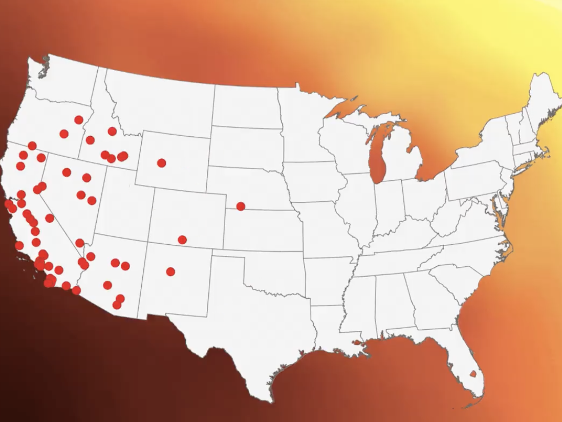
The weather prediction center warned on March 17 that temperatures from the Southern California coast across parts of Arizona would exceed 100 degrees Fahrenheit over the coming days. Heat advisories have been issued for a majority of the California coastline from the Mexico Border to north of the San Francisco Bay area, with extreme heat warnings in effect inland from Palm Springs and Barstow to Las Vegas and Death Valley, and across the southern half of Arizona to the New Mexico border.
Those predictions include temperatures of 101 degrees in Los Angeles; 109 degrees in Palm Springs, California; 107 degrees in Phoenix, Arizona, and 95 degrees in San Jose, California. Several population centers could set records for the earliest point of the year in which they recorded temperatures above 90 or 100 degrees.
“Temperatures this hot so early in the year could shatter high temperature records by as much as 10 degrees,” the Weather Prediction Center stated.
As that heat wave expands, temperatures exceeding 20 degrees above the usual average are forecasted for a majority of states west of the Mississippi, including Montana, Oregon, Texas, and Iowa. The center warned that the heat could cause rapid snowmelt, which, in turn, could result in rising rivers and swift currents. Water temperatures, meanwhile, will remain very cold.
Further east, red flag fire warnings have been issued for parts of Nebraska, Wyoming, Colorado, and Kansas, as well as Oklahoma and Texas, as warming temperatures, extremely dry air, and strong winds converge over the two regions.
But the Lower 48 isn’t quite done with snow. The weather prediction center said “a swathe of light snow” would be moving across the northern plains into the upper Midwest through March 18. Parts of northern Michigan are expected to get snowfall of two to four inches. This is after the latest cyclone deposited several feet of snow across the Midwest between March 14 and 16, with some areas of Wisconsin and Michigan recording more than 30 inches.
The center also warned that “a potent cold front” would continue through New England and up into Canada on March 17, bringing temperatures down even further, some downpours, and gusty winds.
Meanwhile, several southern states were under a freeze warning on March 17 after severe thunderstorms rolled in from the Midwest and headed out to sea.
The prediction center announced warnings for nearly the entire state of Alabama, and parts of Mississippi, Florida, Georgia, South Carolina, and North Carolina. They are expected to last through March 18, with record-low temperatures possible across the Southeast that morning. Snowfall was recorded as far south as Alabama on March 16.
Temperatures are then expected to get warmer over several days, and a quieter weather pattern is set to follow for much of the United States.