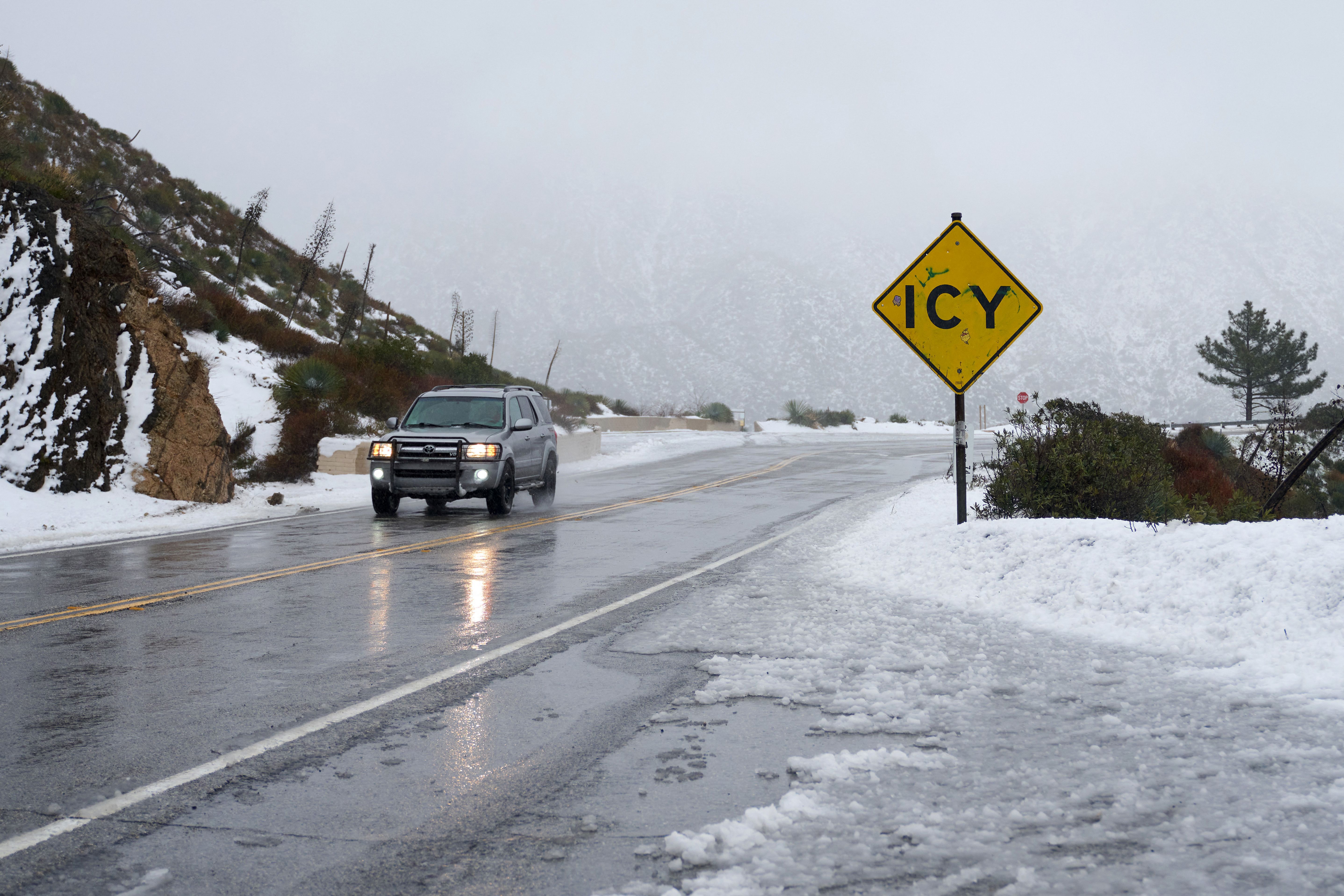
Californians are reaching for their Ugg boots this week as icy temperatures swept through the Golden State starting Jan. 7.
Thermometers are expected to reach below freezing in some parts of southern and central California Monday night and into Tuesday, the National Weather Service reported.
The cold-air mass over Southern California was left over from a low-pressure weather system from Canada that moved through the state on Sunday.
“It’s just lingering cold air that should really peak tonight and into tomorrow morning,” National Weather Service Meteorologist Ryan Kittell told The Epoch Times Monday.
A “hard freeze” warning was issued for parts of San Luis Obispo and Santa Barbara counties in central California Monday. Residents were warned that temperatures could drop to as low as 25 degrees, which could possibly cause some outdoor irrigation pipes to freeze and burst, according to Mr. Kittell.
Further south in Los Angeles and Ventura counties, residents were warned that the thermometer could drop to between 30 and 40 degrees, according to the NWS.
In the high desert areas of Lancaster and Palmdale, and some mountain areas, temperatures could drop to 18 to 25 degrees—well below freezing.
The weather service also issued a wind and rain advisory for southwest California for Wednesday and Thursday. The area should expect strong and damaging winds in the mountains, foothills and southwest Santa Barbara County, with gusts reaching 70 miles per hour.
Coasts and valleys should prepare for wind gusts from 30 to 50 miles per hour, according to the weather service. Light rain could also reach the region, the agency said in its advisory.
Mountain snow is also expected to reach the Grapevine and Tejon Pass, with about 1 inch accumulation expected. Drivers should expect hazardous driving conditions and possible delays on Wednesday and Thursday, according to the weather service.
The agency is also recommending residents avoid mountain travel Wednesday and Thursday, or bring winter emergency supplies in case of road closures and delays.


