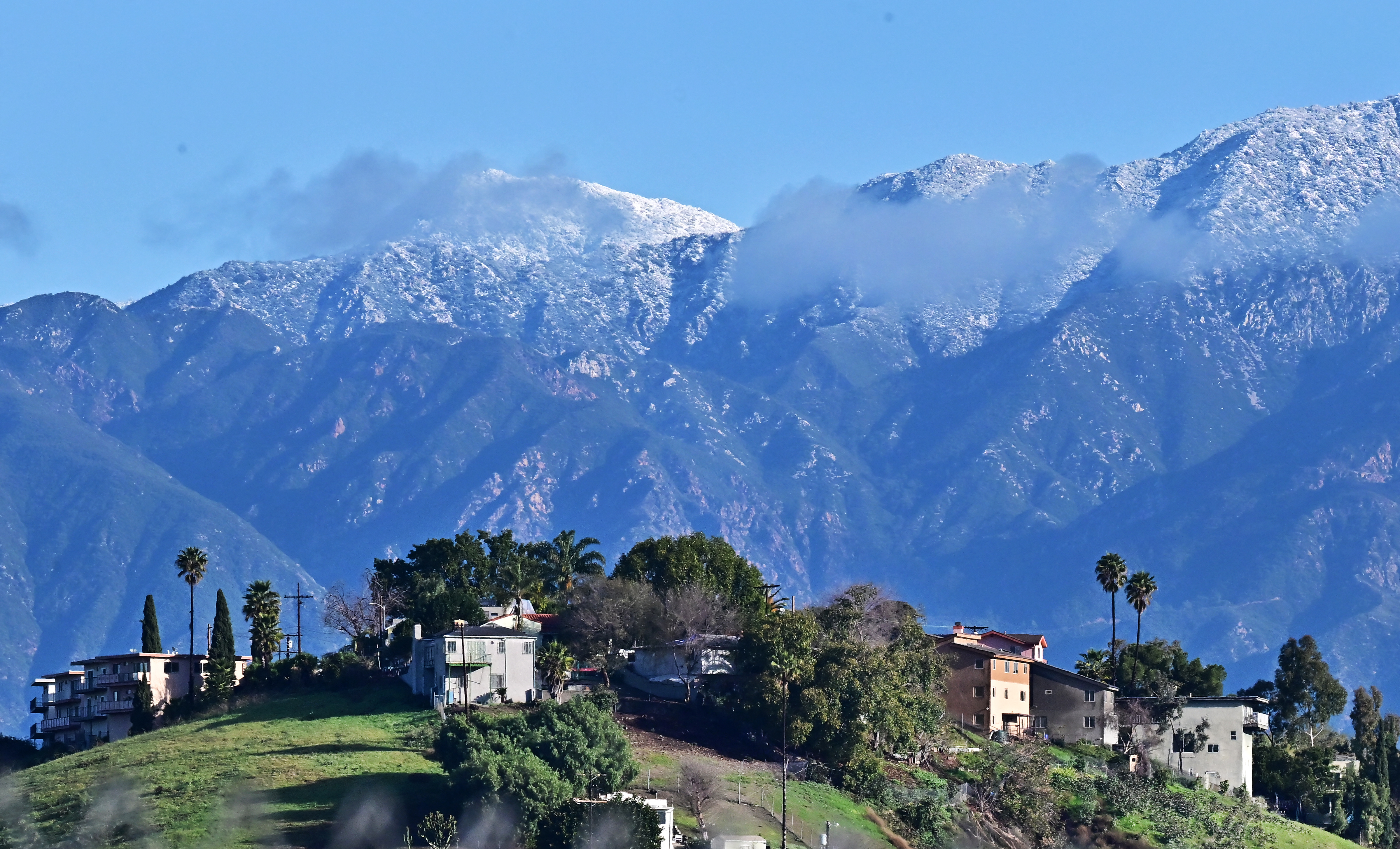
California’s snowpack remained below normal Feb. 26, despite several weekly winter storms hitting the state.
Data released by the California Department of Water Resources showed statewide levels were 82 percent of normal for the date and 70 percent of the average for April 1.
In the Southern California region, it was 77 percent of normal and only 66 percent of the average for April 1. Central California was slightly higher, measuring 78 percent and 66 percent, respectively.
In the northern section of California, snowpack levels reached 95 percent of normal for the date and 81 percent of average for April 1.
The numbers could quickly change, however, as a storm moves into the central region this week.
More snow is expected by the end of the week in the Lake Tahoe basin. Forecasters with the National Weather Service in Reno say strong winds and heavy snow should arrive in the area by Thursday afternoon and continue until Sunday morning.
The basin could get up to 4 feet of snow before the storm ends on Sunday. Upper elevations along the crest of the mountains could get as much as 10 feet, according to National Weather Service Meteorologist Brittany Whitlam.
“We’re also looking at some strong winds, as well,” Ms. Whitlam told The Epoch Times.
Winds reaching 50 miles per hour at the lake level in Lake Tahoe are expected to sweep through the area, starting before the snow arrives, Ms. Whitlam said, adding that they could reach 100 miles per hour at upper elevations.
“With winds and heavy snow, it could create white-out conditions around the Tahoe basin and the Sierra Nevada,” Ms. Whitlam said.
The storm could start breaking up by Sunday afternoon, according to Ms. Whitlam.


