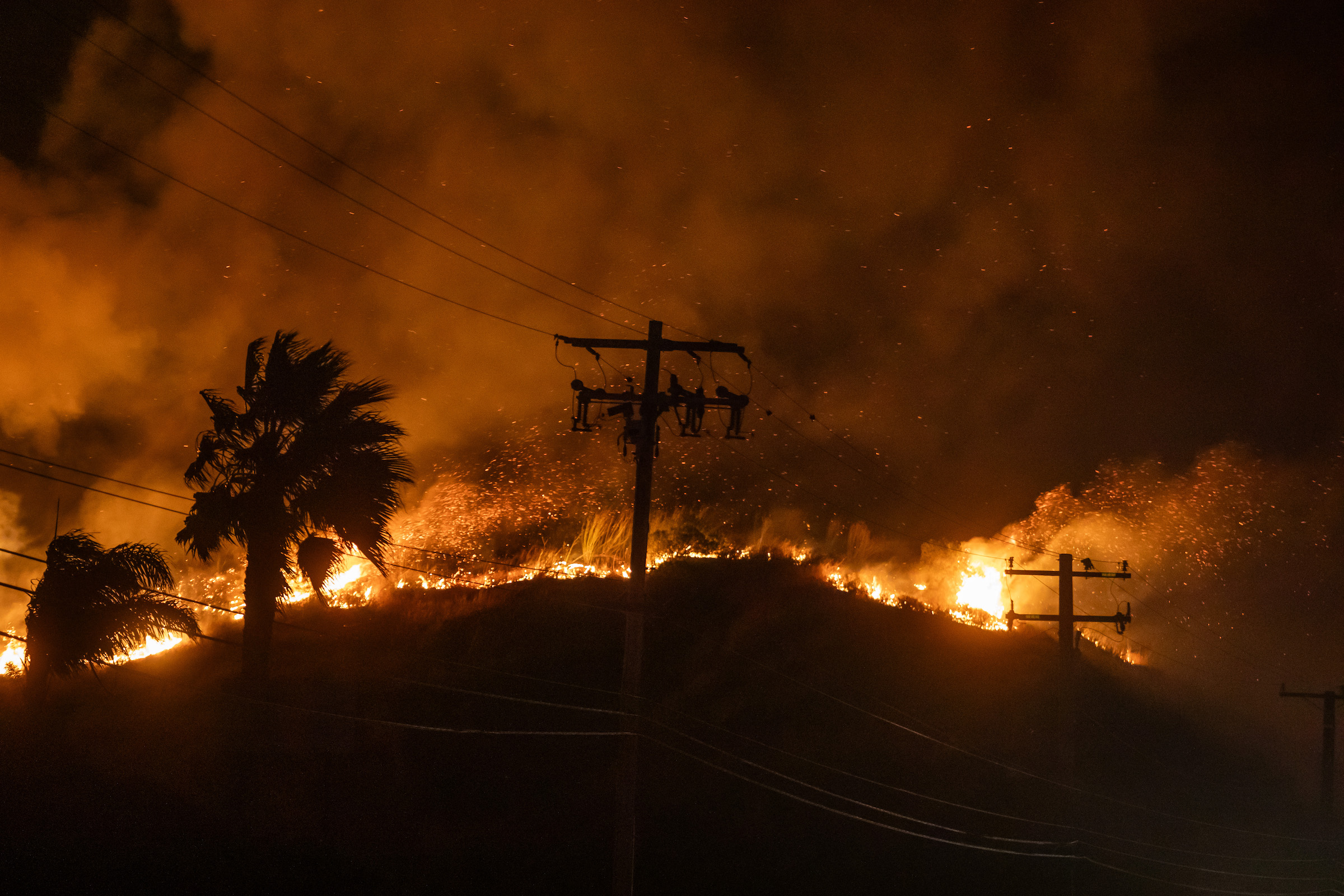
LOS ANGELES—Another round of gusty Santa Ana winds will increase fire danger starting Tuesday in Southland mountain areas.
National Weather Service forecasters said winds could begin ramping up as early as Monday night, with “weak to moderate” Santa Ana winds anticipated for Tuesday through Thursday. But after initially warning of more widespread fire conditions, forecasters later scaled back their predictions, saying the winds will be “much more localized” that previously thought.
According to the NWS, peak gusts of 30 to 45 mph are anticipated “over just the favored mountains and hills,” combined with humidity levels of less than 10 percent in most mountain areas.
“Red Flag Warnings are now in effect for just the windiest and driest locations,” forecasters said. “All other areas that were under Red Flag Warnings and Fire Weather Watches have been canceled. Despite these changes, elevated fire weather conditions remain. Considering traditional New Years activities, people need be extremely careful with anything that can spark a fire.”
A red flag warning of critical wildfire danger will be in effect from noon Tuesday through 6 p.m. Wednesday for the Santa Monica Mountains Recreational Area, the western San Gabriel Mountains and the Antelope Valley (14) Freeway corridor.
The gusting winds will prompt a warming trend in the area that is expected to continue through the week. Forecasters noted that the result for New Year’s Day will be “picture postcard weather with sunny skies and temperatures in the 70s, up 5 to 10 degrees from Tuesday and about 8 degrees over normal.”
Temperatures will rise again slightly on Thursday, which is expected to be the warmest day of the week, with temperatures in the 70s or even low 80s for the coasts and valleys. Friday will be slightly cooler, but temperatures will still be above normal.


