PASADENA—As they made their way through food stalls, FEMA tables, and Red Cross volunteers at the Pasadena Civic Center on Sunday, victims of a large fire burning in Altadena and other nearby cities invariably ended up in front of a large map of the burn area.
Dazed and traumatized, carrying blankets and backpacks, they gazed at the paper map and traced the curves of the wild, wind-driven fire that has laid waste to their lives.
Sima Alam, 49, knew soon after evacuating last Tuesday that her home was gone.
“As you can see, here’s all my stuff. I’m just trying to figure out where I’m going to go next,” the lifelong Altadena resident told The Epoch Times.
“My heart is ... my emotions are so riled up. I can’t even drive through my neighborhood, where I grew up. I can’t even see all these burned buildings.”
Others were grateful the fires had somehow spared their corner of the block. But many residents still don’t know what, if anything, remains of their property.
As law enforcement continues to keep people out of evacuation zones in areas impacted by the catastrophic Los Angeles County fires, displaced residents eager for any bit of news will now have a better tool to keep track as authorities assess the damage.
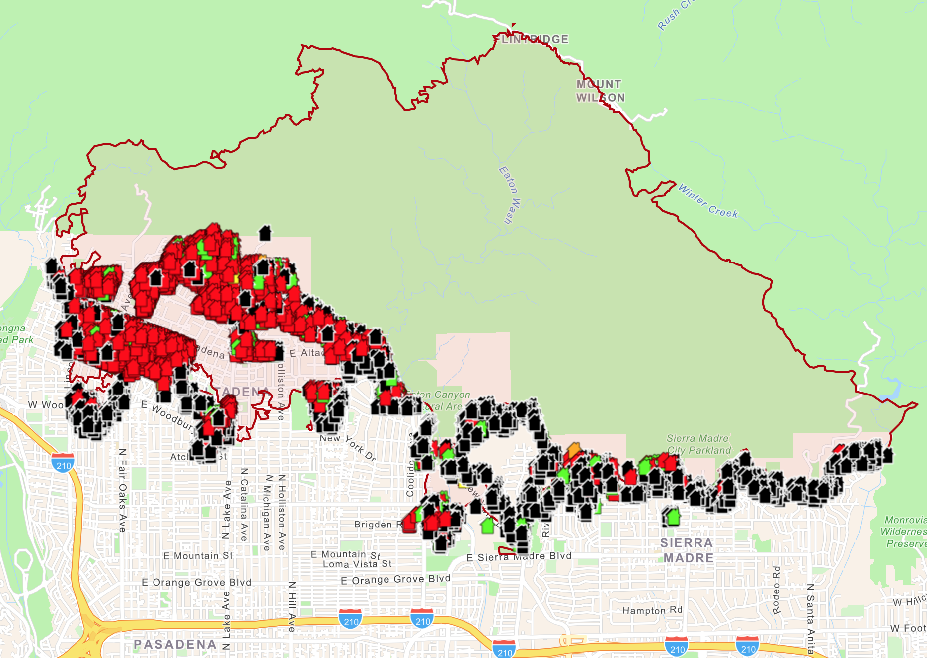
The county this week launched an interactive map to assess damage in both the Pacific Palisades fire burn area on the west side of Los Angeles, and in Altadena and other nearby areas impacted by the Eaton Canyon fire.
Each structure on the map is labeled with a color-coded marker. Red indicates it was destroyed (more than 50 percent damaged), black means it has no damage, and other colors indicate the structure has various levels of damage. Residents can enter their address and click on their home, business, or other type of building to see the assessment and view an attached photo.
While the map is still incomplete, it will be updated on a rolling basis as the California Department of Forestry and Fire Prevention continues inspections of the areas.
“My constituents need to know the scope of what’s happened to their properties so they can begin applying for assistance and start the recovery process,” said Los Angeles County Board of Supervisors Chair Kathryn Barger in a statement. “This map is a trusted source of helpful information.”
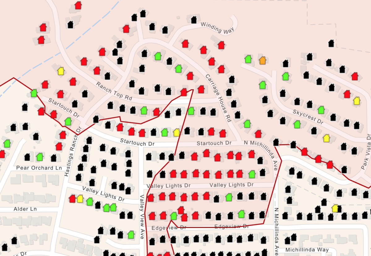
A preliminary map showing damage assessments for homes and other structures from the Eaton fire, east of Los Angeles, on Jan. 15, 2024. (Los Angeles County/Screenshot via The Epoch Times)
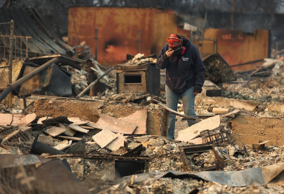
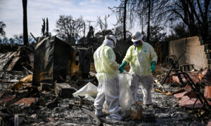
Mimi Laine pauses as she inspects her mother's home that was destroyed by the Eaton Fire in Altadena, Calif., on Jan. 9, 2025. (Justin Sullivan/Getty Images)
Barger’s district includes Altadena, an unincorporated community nestled against the San Gabriel Mountains, where the Eaton fire has burned through more than 14,000 acres since Jan. 7. In the western end of the county, the Palisades fire has burned more than 23,000 acres, and is around 19 percent contained.
Between the two, more than 12,300 structures are believed to have been damaged or destroyed.
With a surge of added personnel and resources, first responders battling the Eaton fire were able to make progress over the weekend, getting to 45 percent containment, according to the latest reporting from the state’s fire agency.
As of Tuesday evening, the Los Angeles County Medical Examiner reported nine deaths in the Palisades Fire, and 16 in the Eaton Fire.
The Los Angeles County Sheriff’s Department last week deployed more than 500 deputies to patrol just the Altadena area, along with support from the California Highway Patrol and National Guard.
In an attempt to protect resident safety and deter looters, the department imposed a daily 6 p.m. to 6 a.m. curfew, warning that those who violate it would face arrest, fines, or jail time.
In the early days of the fire, many residents returned to their homes when the winds died down, easily skirting police presence that was blocking the main arteries, evacuees told The Epoch Times.
“They weren’t patrolling the actual streets, just certain locations, so it was easy to get in and out, and there were cars there Wednesday night that were obviously not from the neighborhood,” said Jack Green, an Altadena resident who evacuated his home of 37 years.
“We had friends that had things taken from their homes, after they burned,” he said.
Authorities continue to urge residents to not enter evacuation zones or other closed areas for any reason.
“Though the threat of fire may have subsided in some areas, many dangers remain, including downed power lines, hazardous materials, roadways blocked by downed trees and other heavy debris, unclean water, poor air quality and other hazards,” said officials in an online FAQ accompanying the damage map.
