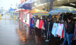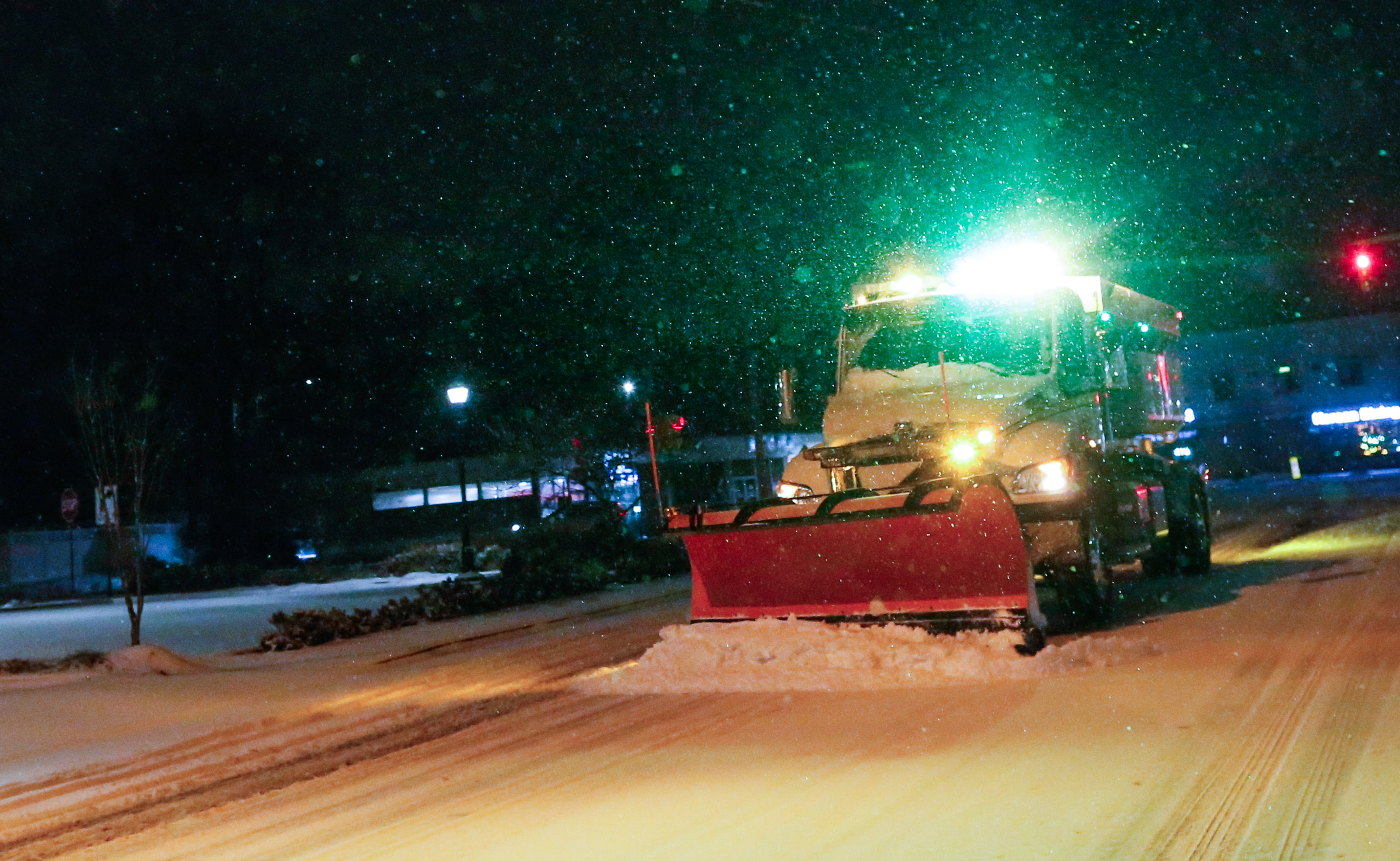

Snow began to fall across New York and neighboring states on Dec. 26, and it was unlikely to stop anytime soon.
“An impactful winter storm is ongoing for the Northeast this afternoon and will continue overnight,” the National Weather Service (NWS) announced in an advisory.
“Cold air damming is providing the right ingredients for observed freezing rain across the northern Mid-Atlantic, while areas from northern Pennsylvania to southern Connecticut will see heavy snowfall. Difficult travel conditions are ongoing for the area and those traveling back from the holiday should exercise caution if you have to be on the road.”
Winter storm warnings and winter weather advisories were put into effect for most of New York State, as well as most of Pennsylvania, New Jersey, Connecticut, Rhode Island, and Massachusetts, and parts of Maryland and Vermont.
The NWS predicted that five to nine inches of snow could fall on New York City as well as most of New Jersey, Long Island, and New England. Some local areas could see up to 11 inches, with the highest amounts expected to fall across northern sections of the New York City/New Jersey Metro Area and central and eastern Long Island.
Light snow was expected to start around 3 p.m., and the heaviest snowfall—as much as one to two inches per hour—was expected at night between 6 p.m. and 2 a.m. Sleet and freezing rain were also anticipated in some parts of southern New Jersey, and western Long Island. Afterward, light snow was expected to stick around the morning of Dec. 27, but then taper off by midday.
New York and New Jersey declared states of emergency Friday afternoon ahead of the winter storm.
“I am declaring a State of Emergency for counties affected by this weekend’s winter storm. Take precautions to stay safe: Avoid unnecessary travel and sign up for emergency alerts by texting your county or borough to 333111,” New York Gov. Kathy Hochul said in a post on X.
New Jersey’s acting Gov. Tahesha Way said in her declaration: “This storm will cause dangerous road conditions and impact holiday travel. We are urging travelers to avoid travel during the storm and allow crews to tend to the roads. Drivers should plan their travel accordingly, monitor conditions and road closures, and follow all safety protocols.”
The NWS warned that the intense snowfall could decrease visibility, and cause isolated downed tree branches and even power outages.
The “worst case scenario” showed New York City receiving 10 inches of snow, with nearby Newark, New Jersey, and JFK International Airport receiving as much as nine inches of snow.
This would be the biggest snowfall the Big Apple has experienced since it recorded four inches in 2022.
Both JFK and Newark-Liberty International Airport put out a snow advisory on social media, warning would-be travelers that the conditions could disrupt operations and that they should check with their airlines for their flight status.
Scores of flights have already been canceled or delayed at JFK, Newark, and LaGuardia.
More than 1,600 flights were cancelled and nearly 8,300 flights were delayed into and out of the United States on Friday as weather conditions began to worsen, according to the flight-tracking service FlightAware.
Meanwhile, the greater lower Hudson Valley, Southern Connecticut, and the hills of New England were expected to receive seven to 11 inches of snow, with the possibility of 12 inches. Higher elevations were expected to receive higher amounts.
In Connecticut, NWS forecasted Bridgeport and New Haven to receive more than nine inches of snow, with 11 inches being the worst-case scenario. Danbury was expected to get 10 inches, or at most 12 inches.
Farther south, Philadelphia, Pennsylvania, was expected to receive up to two inches of snow. The NWS warned that areas north of I-80 would experience snow, while areas near and northwest of I-95 were expected to get a mix of sleet and freezing rain.