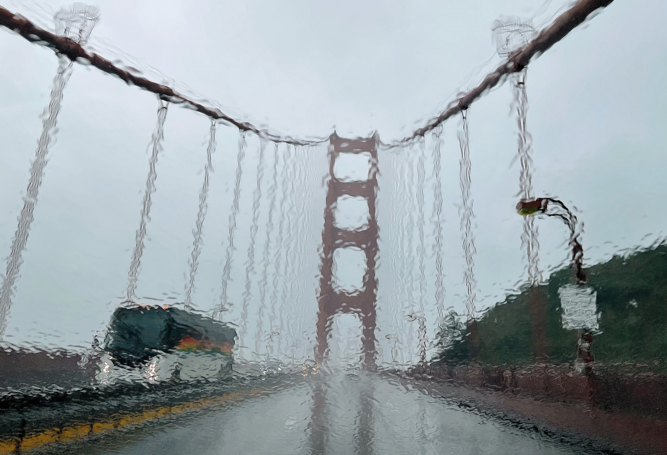
A so-called bomb cyclone could deliver the biggest storm in 60 years to Northern California and the San Francisco Bay Area this week, weather officials warned Nov. 18.
It’s been 60 years since the region experienced this type of storm, according to National Weather Service meteorologist Rick Canepa, based in the San Francisco area.
Canepa likened it to the historic Columbus Day storm of October 1962, which hit the Northern California coast with the force of a Category 3 hurricane. Meteorologists at the time called the storm the most powerful cyclone ever to hit the western U.S., according to the Oregon Historical Society.
The storm would be the first atmospheric river system of the season, weather officials reported, and could dump up to 11 inches of rain in some areas, including northwestern Sonoma County.
“It’s a really early start to winter,” Canepa told The Epoch Times.
The powerful bomb cyclone, a system of low pressure that quickly gains strength, could slam parts of Northern California starting Tuesday.
Cold air from the northwest is expected to meet up with southwest water vapor from Hawaii, creating classic atmospheric river conditions that bring drenching rain and possibly coastal flooding.
“These produce a lot of precipitation and that’s exactly what the models are forecasting,” Canepa said. “The highest amounts of rain will be from the Golden Gate northward.”
Three to seven inches of rain are expected in most of the San Francisco region through Friday, according to the weather service.
“That would be much above normal,” Canepa said.
The weather service’s Sacramento office issued a flood watch for the northern and central Sacramento Valley and adjacent foothills below 3,000 feet. Prolonged periods of moderate to heavy rain were expected in the region.
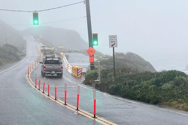
A section of Highway 1 reopens after storm damage was repaired in Big Sur, Calif., on May 17. (Kevin Drabinski/California Department of Transportation via AP)
“Sharp rises of rivers, creeks, and streams are expected, along with ponding of water in low-lying areas,” the weather service posted.
Frost and freeze warnings were issued by the weather service Monday and Tuesday for the valleys north of the San Francisco Bay area. Freezing temperatures were expected both nights.
A flood watch was also issued for the region starting Tuesday through Thursday night, Canepa said.
In Southern California, atmospheric pressure is expected to start building Tuesday, bringing gusty winds reaching 55 miles per hour, the National Weather Service predicted.
The strongest winds were expected to hit southwest Santa Barbara County, Ventura County mountains, and northwest Los Angeles County.
Gale-forces winds reaching up to 35 knots, or 40 mph, were also forecast to arrive Monday night for the outer waters, causing dangerous sea conditions which could damage small or large vessels, according to the National Weather Service.
“Windy conditions will continue through tonight,” the National Weather Service in Los Angeles posted on X Monday. “Be extra careful on the roads. Watch for debris and suddenly swerving vehicles. Boaters stay safe in harbor.”
The gusty northerly winds could last seven days and cause hazardous driving conditions, especially for trucks and other high-profile vehicles. The weather service also warned of possible downed trees and power lines.
A high-surf advisory was also issued for San Luis Obispo County and Santa Barbara County beaches Monday night, which ends about 9 a.m. Tuesday, the weather service reported. The high surf could create large breaking waves reaching up to 11 feet across the west- and northwest-facing beaches with dangerous rip currents.
The rainfall was expected to hit the southern region later in the week, possibly starting Friday, according to the National Weather Service in Los Angeles.
“SoCal will be on the southern fringe of the flow per the current forecast,” the office reported Monday.
The weather service expects about one inch of rain to fall across the region during the weekend. If the atmospheric pressure weakens, Southern California could get much more rain, according to the forecast.
