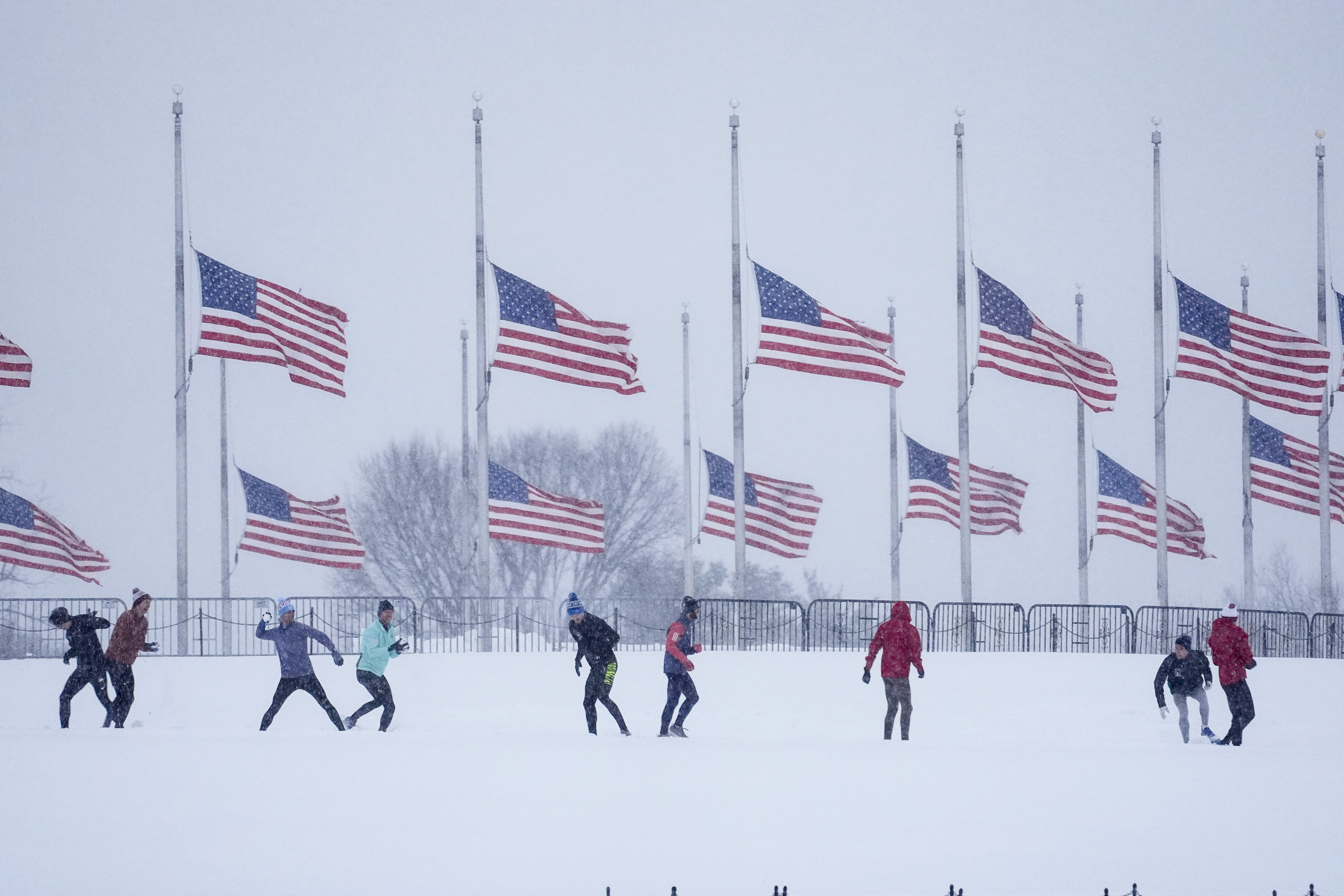
The National Weather Service (NWS) is issuing warnings for more chilling and snowy conditions for the eastern half of the United States this weekend.
Its Weather Prediction Center announced that arctic fronts will cause temperatures to plunge in the northeastern United States beginning on Jan. 17.
This is expected to bring frigid conditions to Washington, D.C., throughout next week, including President-elect Donald Trump’s inauguration day on Jan. 20.
The NWS issued a commuting hazard for the greater Baltimore and Washington metro areas on Jan. 16, stating there was a 60 percent to 70 percent chance of snow that evening, causing up to half an inch to accumulate on roads and walkways.
“An abrupt change to reality is coming by Friday as a pair of strong cold fronts heralds the arrival of frigid temperatures and brutally cold wind chills,” the Weather Prediction Center stated. “This will continue well beyond the short-range forecast period, and the Weather Prediction Center has Key Messages regarding this arctic blast.”
The eastern United States is expected to see the very cold conditions continue through the week but will then begin to see a return to seasonal average temperatures, and above-average temperatures are expected for the Southeast.
This latest cold front could also bring snow showers and snow squalls to the northern Rocky Mountains and the western High Plains starting on Jan. 17.
Meanwhile, lake-effect snow will be moving southeast starting on Jan. 16. Lake-effect snow warnings are now in effect for western New York, downwind of Lake Erie, which is expected to receive the most snowfall.
The central Appalachian mountains are expecting moderate-to-heavy snowfall, with five to 10 inches predicted across the elevated parts of West Virginia and south-central Pennsylvania. Winter storm warnings are also in effect for portions of south-central Pennsylvania.
Snowfall is expected to arrive on Jan. 18 and Jan. 19, with winter conditions remaining through next week.
Winter weather advisories are currently in effect for portions of western Pennsylvania, eastern Ohio, and northern West Virginia, including Cleveland and Pittsburgh.
This combination of arctic blasts and lake-effect snow is expected to arrive a little more than a week after a large winter storm delivered record-setting snowfall to most of the eastern half of the United States. Snow was reported across the South from Georgia to Texas, causing several governors to declare states of emergency.
However, the Deep South is most likely to get rain rather than snow this weekend.
The Weather Prediction Center stated: “A developing low-pressure system over the Deep South Friday night will likely lead to increasing showers and perhaps a few thunderstorms near the central Gulf Coast region by Saturday morning, but this region should remain dry until then.”
